
Aerial Photo & Video
Aerial and video services deliver stunning drone footage for mapping, inspection, marketing, events, real estate, surveys storytelling worldwide.

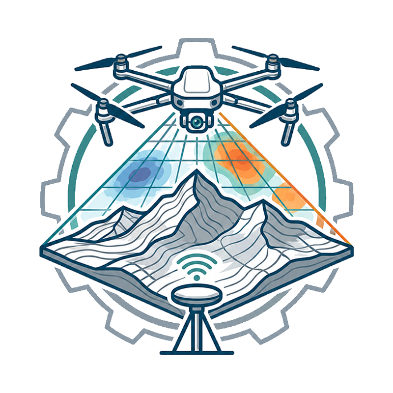
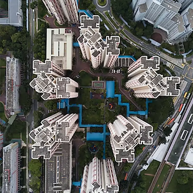
Mapping & Surveying
Mapping and surveying services deliver aerial data for terrain analysis, land planning, construction tracking, boundary checks, and reports plus.

Inspections & Monitoring
Inspection and monitoring services deliver real time drone data for asset checks, audits, infrastructure health tracking, and compliance reports.


Experience precision from above with professional aerial mapping and inspection, capturing every detail accurately to support smarter planning and decision making.
SkyGrid Mapping Project

High resolution aerial photography and cinematic video production help showcase properties, landscapes, and events with stunning clarity and visual impact.
AeroVista Media Campaign

Detailed infrastructure inspection using drones improves safety, reduces downtime, and delivers accurate visual data for faster maintenance decisions.
InfraScan Inspection Program

Real Estate
Id commodo non consequat labore incididunt labore cillum dolor anim magna esse ex minim proident sint dolor exercitation ad.

Construction
Id commodo non consequat labore incididunt labore cillum dolor anim magna esse ex minim proident sint dolor exercitation ad.

Agriculture
Id commodo non consequat labore incididunt labore cillum dolor anim magna esse ex minim proident sint dolor exercitation ad.
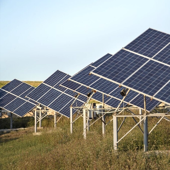
Energy
Id commodo non consequat labore incididunt labore cillum dolor anim magna esse ex minim proident sint dolor exercitation ad.

Advertising
Id commodo non consequat labore incididunt labore cillum dolor anim magna esse ex minim proident sint dolor exercitation ad.

Public Safety
Id commodo non consequat labore incididunt labore cillum dolor anim magna esse ex minim proident sint dolor exercitation ad.