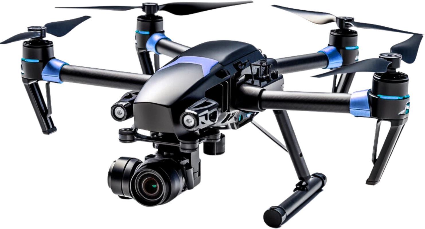
4K Stabilized Camera
4K resolution with 3-axis gimbal for smooth video.
Brushless Motors
Efficient, quiet motors for powerful, reliable flight.
Carbon Fiber Frame
Lightweight, strong carbon fiber for stability.
GPS Assisted Navigation
HiPrecise GPS for stable hovering and auto return.
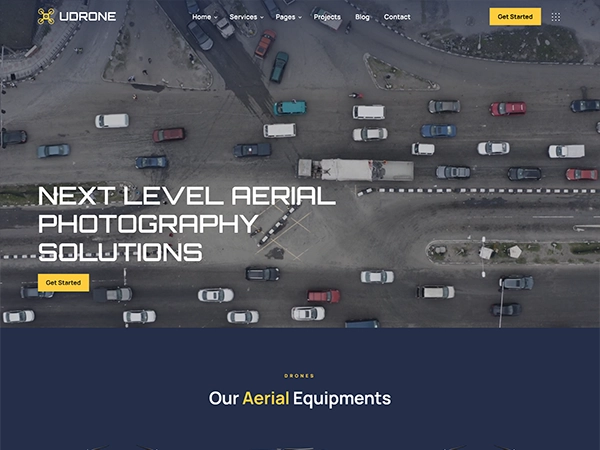
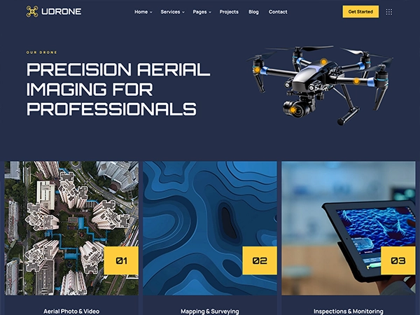
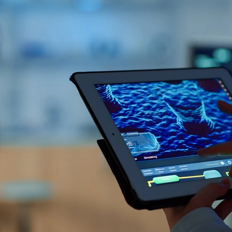
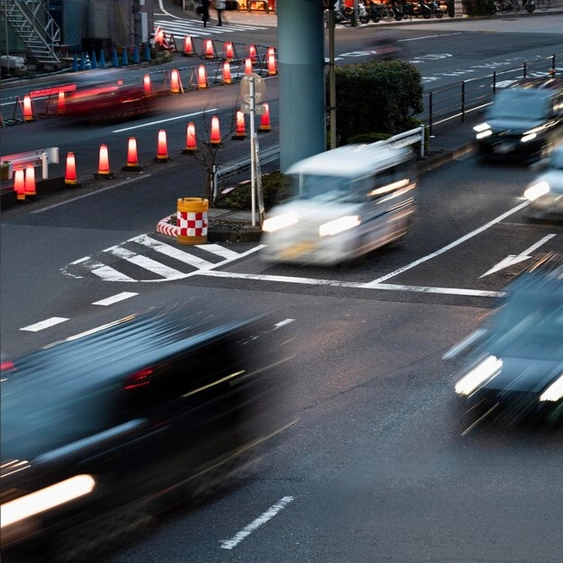
Aerial Photo & Video
Aerial and video services deliver stunning drone footage for mapping, inspection, marketing, events, real estate, surveys storytelling worldwide.

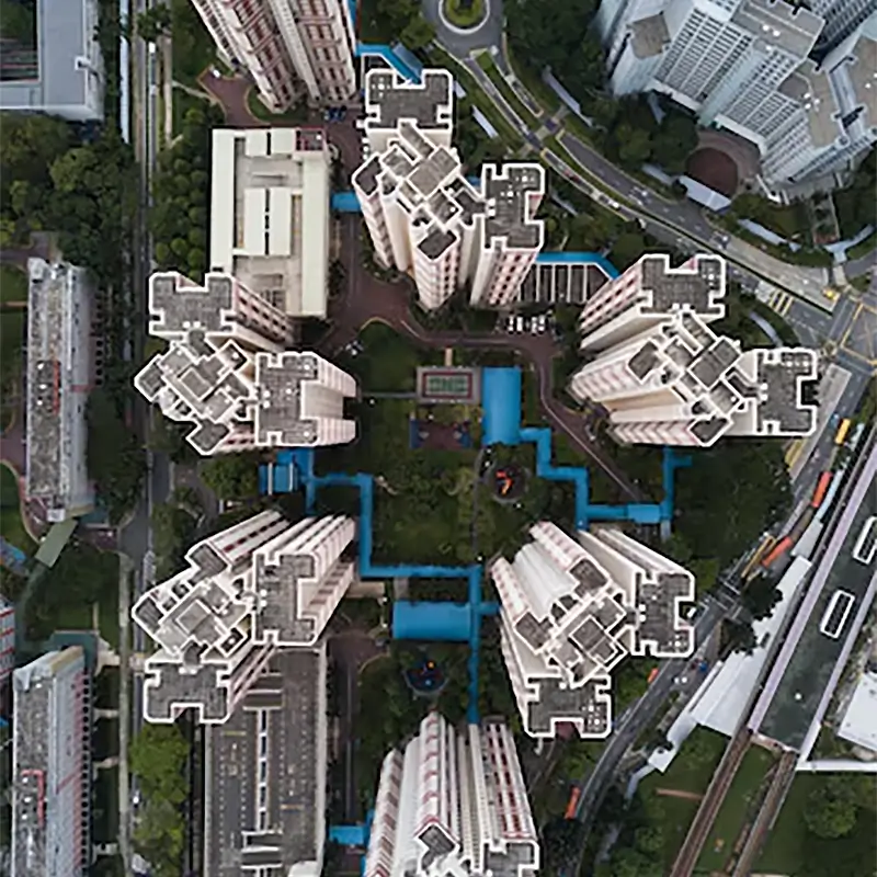
Mapping & Surveying
Mapping and surveying services deliver aerial data for terrain analysis, land planning, construction tracking, boundary checks, and reports plus.
Inspections & Monitoring
Inspection and monitoring services deliver real time drone data for asset checks, audits, infrastructure health tracking, and compliance reports.


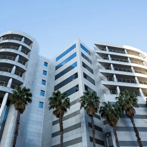
Real Estate
Id commodo non consequat labore incididunt labore cillum dolor anim magna esse ex minim proident sint dolor exercitation ad.
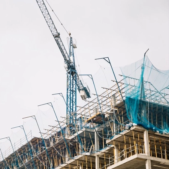
Construction
Id commodo non consequat labore incididunt labore cillum dolor anim magna esse ex minim proident sint dolor exercitation ad.

Agriculture
Id commodo non consequat labore incididunt labore cillum dolor anim magna esse ex minim proident sint dolor exercitation ad.
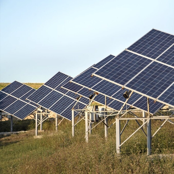
Energy
Id commodo non consequat labore incididunt labore cillum dolor anim magna esse ex minim proident sint dolor exercitation ad.

Advertising
Id commodo non consequat labore incididunt labore cillum dolor anim magna esse ex minim proident sint dolor exercitation ad.
Public Safety
Id commodo non consequat labore incididunt labore cillum dolor anim magna esse ex minim proident sint dolor exercitation ad.