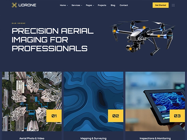
Capture your site, event, or project with professional drone services designed to deliver stunning aerial visuals and real-time insights. Our certified pilots provide customized aerial solutions, from filming to mapping and live monitoring, ensuring every detail is captured with precision.
About Us
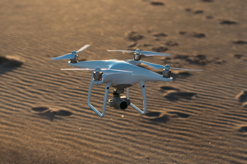
Capture your site, event, or project with professional drone services designed to deliver stunning aerial visuals and real-time insights. Our certified pilots provide customized aerial solutions, from filming to mapping and live monitoring, ensuring every detail is captured with precision.